Southwest Cape Coral
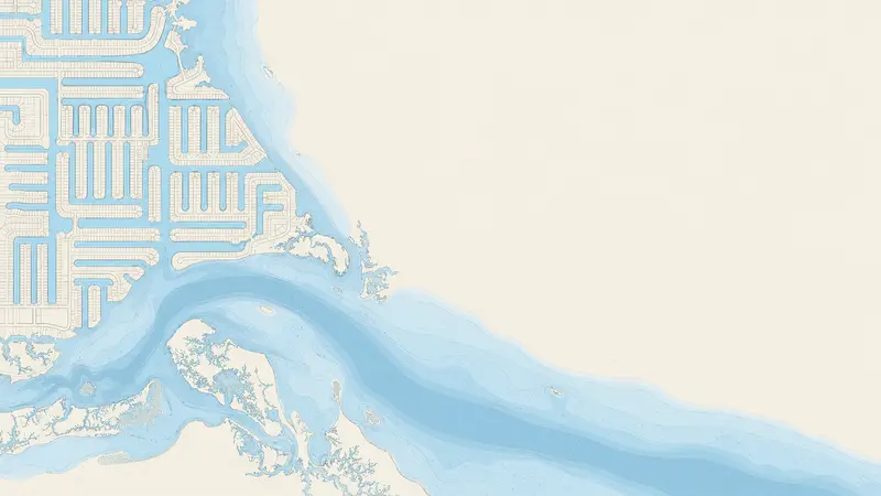
The canals of the southwest side lead toward the Caloosahatchee River and the Gulf, so the question here is rarely whether you have water access but how far, how fast and under which bridges.
Southwest Cape Coral
Where the route to the river is shortest
Southwest Cape Coral sits close to the river mouth near the Cape Coral Bridge and the Yacht Club, which is why many boaters start their search here. Canal width, depth and the bridges on your particular street still decide how good a route is, so compare addresses, not neighborhoods.
What to compare in the southwest
- Run to the river
- Count the turns and the bridges between the dock and the river, then check them in the boat-time tool.
- Sailboat access
- Only some canals are open to masts. See the guide, then check the lowest bridge.
- Idle zones
- No-wake zones near the canals add time that distance alone will not show.
- Lot and dock
- Seawall age, dock length and lift capacity vary lot to lot.
Open water.
Tell Steven what you want to do on the water and he will check it against a real address.