How far is your house from the Gulf?
Boat time, distance, bridge clearances and speed zones from a Cape Coral address to open water and about 75 destinations. Built by Steven, because each Realtor has a different idea of where the Gulf actually is.
One address in, a real route out.
- Boat time and distance from any Southeast or Southwest Cape Coral address to about 75 places: Cabbage Key, Cayo Costa, Doc Ford's, Key West, Marker 99, Tarpon Lodge and more.
- A speed picker from 5 to 50 MPH.
- Main channels only, or shallow shortcuts.
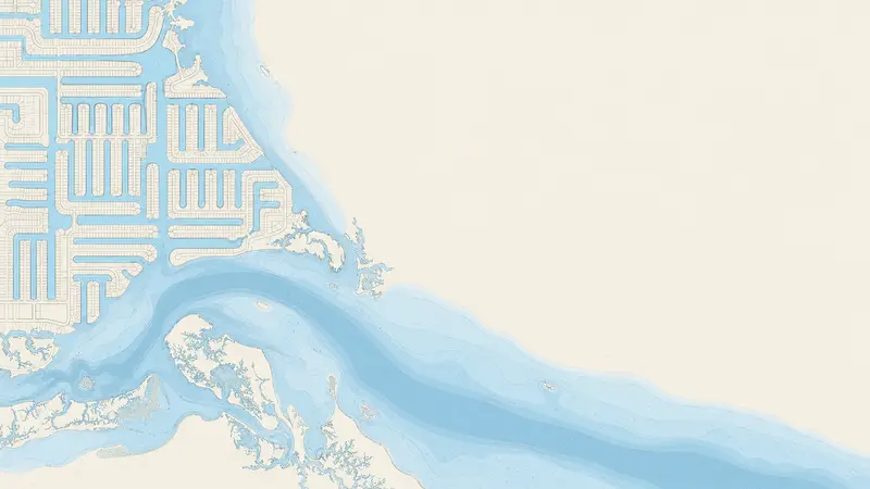
- A route map, bridge clearances, power lines and the speed-limit zones.
It is informational and not for navigation. Use it to compare homes, then confirm everything on the water.
Example route · SW Cape Coral canal home
Show time at a different speed
Example only: made-up numbers for a sample canal home. Your address gets its own route.
Where could you boat on a Saturday?
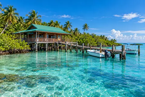
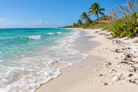
Distances are examples. Times recalculate with the speed you pick above.
Why the boat-time number matters
Distance is not time
Idle and no-wake zones near the canals slow the first stretch of every trip, so a short run can take longer than the miles suggest.
Bridges decide your boat
The lowest bridge on the route limits how tall your boat can be. A tower, a hardtop or a mast can be the difference between yes and no.
Two listings, two answers
Two homes a few streets apart can sit on very different routes. Check each address you are serious about.
Open water.
Tell Steven what you want to do on the water and he will check it against a real address.